Westport suffered severe floods in July 2021 and February 2022, which caused widespread damage to homes and infrastructure. Future and increasingly frequent weather events are likely to cause flooding on a similar scale and put at risk both assets and the community.
Supported by government funding, the Resilient Westport package of works forms part of a programme of wider flood mitigation works to temporarily help protect the town from severe floods. We have provided geotechnical investigation, contamination assessment, seepage modelling (through an external consultant), civil design, and geotechnical monitoring for three of approximately six, proposed stopbanks.
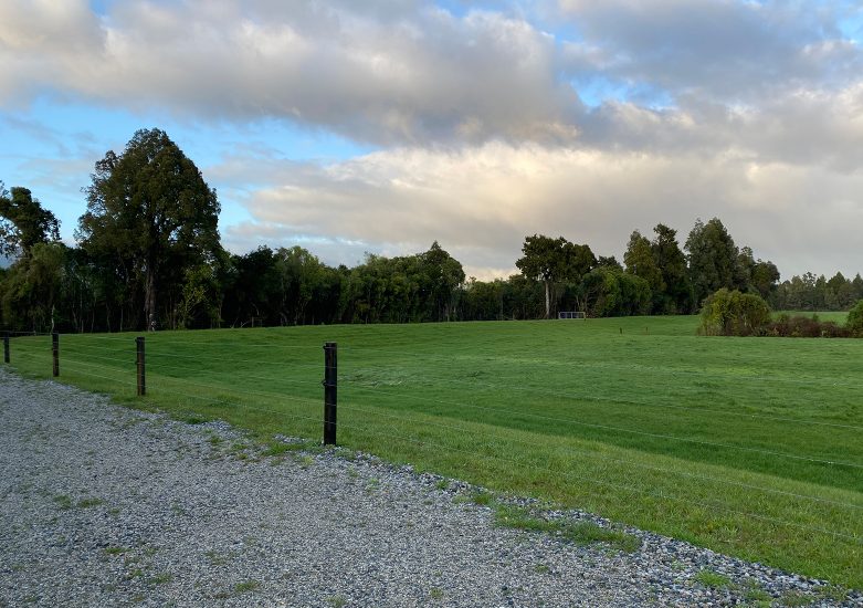
McKenna Road is a 790m-long earthen stopbank, 18m wide at the base, and around 2.2m high. Drones have been used for survey validation and to capture progress during construction. Loaded into PIX4D photogrammetry software, this has been a valuable online communication tool for stakeholders (WCRC, residents, iwi, and Buller District Council), whose feedback has been incorporated into the designs.
Avery’s stopbank measures 550m in length, between 1.1m and 1.5m high and 15 to 20m wide and runs along the Orowaiti River. Constrained by the Orowaiti Lagoon and the road reserve, the design for Avery’s considers tidal influence, risk of seepage from sandy deposits, contaminated soils, existing mains water and stormwater infrastructure, heritage trees, and public access and safety.
The Floating Lagoon involves the remediation and upgrade to an existing stopbank and the construction of a portable flood barrier.


