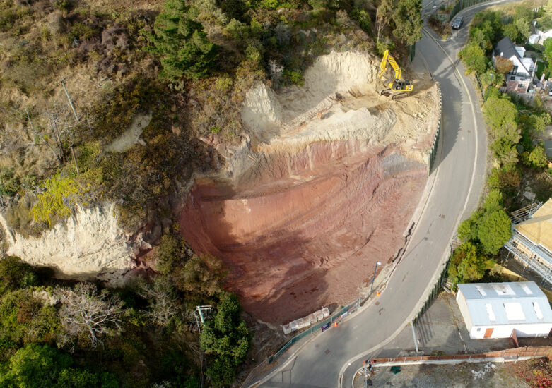
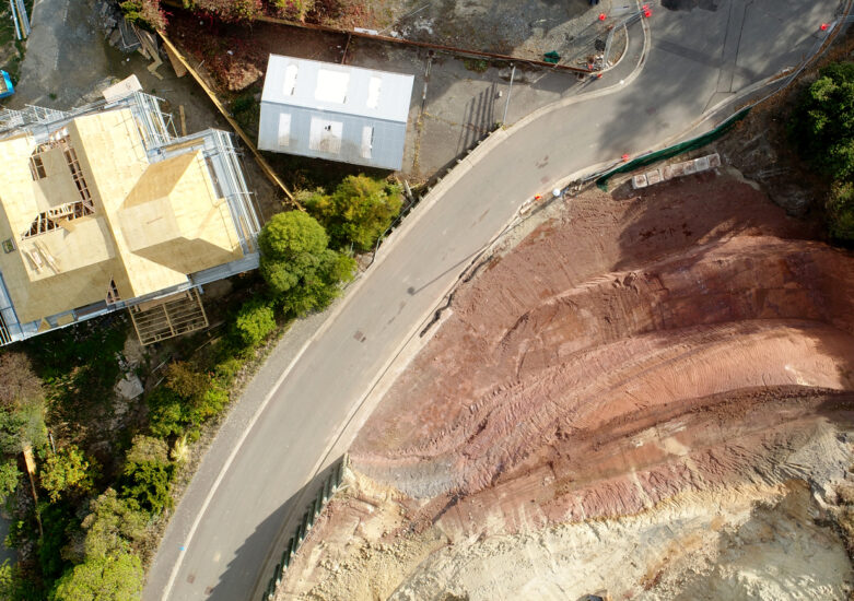
Emily Heights is a 11-lot residential lot development in Moncks Bay, Christchurch. Davis Ogilvie has been involved in the development since 1995 providing expertise in design, construction, and post-earthquake remediation, for a resilient community with access to adjacent land. Our expertise enabled the successful mitigation of cliff collapse and rockfall hazards, help to securing the development’s future suitability.
Our initial involvement began via our planning team, who managed the consenting process relating to earthworks, land use and subdivision. Council certification of the development works and titles were due for issue in late 2010, however the Canterbury earthquake sequence resulted in significant land damage to both the Emily Heights development and neighbouring sites. The Canterbury Earthquake Recovery Authority (CERA) issued a s45 notice which restricted site access as a result of natural hazards resulting from the February 2011 earthquake.
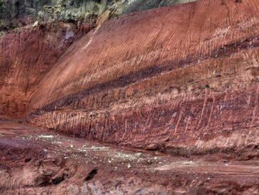
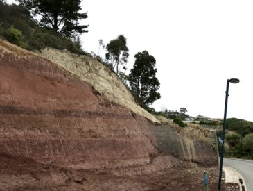
Independent EQC assessments observed significant ground cracking, interpreted as lateral block movement of the neighbourhood towards the estuary. Of greater concern was the fractured bedrock and loess material observed at the entrance to the subdivision, interpreted by GNS to be a Class 1 Debris avalanche and cliff top recession hazards. In addition to the cliff collapse hazard, CERA identified potential rockfall sources which could further impact on the residential sites.
As a result, we were subsequently re-engaged by the developer to assess the cliff collapse hazard, rockfall risk and future suitability of the site for residential development. The team developed a cliff collapse remediation plan in consultation with the client and Toitū Te Whenua Land Information New Zealand (LINZ) and determined appropriate mitigation measures for the rockfall hazard, enabling the remediation of the development to proceed.


